South West Coast Path
- Gethin Thomas

- Jan 7
- 4 min read
Beesands to Great Mattiscombe Beach
This will probably be a series of posts eventually, as I piece together the different sections of the footpath, so for now it is unnumbered but as I add any other bits I will number them in order of the route. The photos are shown in order taken, apart from the title photo.
There are quite a few photos in this section because it was quite a long walk, one I probably wouldn't have tackled a few years ago because I wasn't fit enough back then. The thing to remember about coastal paths is that you cannot look at a map and guess how long it will take, because coast paths have a vertical element too. This particular stretch starts at sea level in Beesands, rises over a ridge and descends to sea level at Hallsands, rises again even higher to the ridge at Start Point and then descends again to sea level at Great Mattiscombe. Then of course, being a linear walk not a circular you have to do it all again in reverse.

On a separate walk taken on a different day on the same route I bumped into some Dutch holidaymakers who had reached the lighthouse and got chatting to them. They had planned a two hour walk from Torcross to the lighthouse and allowed that much time to get there and back. They were shocked to discover that two hours only got them half of the way. Of course a coastal path in the Netherlands probably doesn't rise more than a few metres above the sea, lesson learned.
This is the view at Beesands at the start. I have done a detailed three part series on Beesands here.

This is Start Point, the most southerly point in Devon. This walk goes over the top of the point down the other side, but there is a road down to the lighthouse too. I have another post about that walk down to Start Point lighthouse itself here.

This is the view back to Beesands.


This is Hallsands. The lower levels of South Hallsands were washed away over a hundred years ago.


These rock platforms once held homes and even a pub, now all washed away. A shingle beach covered these rocks, and fishing boats rested on the beach in front of the cottages. A man made disaster caused the loss and you can read more about it here.


The beach at Hallsands.


I don't know if the owner of these ever came back.


This jumble of rock and concrete includes parts of former World War 2 coastal defences.

The cottages at North Hallsands.


Ella Trout was a fisherwoman from Hallsands, Devon, England, who helped rescue nine men from a sinking ship. Ella was one of four sisters, the others being Patience, Clara and Edith.
When their fisherman father, William, became sick, Patience and then Ella gave up school and operated his boat, providing the family's only source of income. William died in 1910, when the two fishing girls were 14 and 15 years old. Their cottage and the village were destroyed in January 1917 in a storm as result of the dredging of the shingle beach years before, which protected the village beside the beach of Hallsands.
On 8 September 1917, Ella was out in a boat crab fishing with her 10-year-old cousin, William Trout, when they saw the SS Newholm strike a German naval mine, one mile south of Start Point. They, along with William Stone, another fisherman in the vicinity, rowed to the scene and helped rescue nine men. Ella and William Trout rescued one sailor, but with the tide and the wind against them, they were unable to row back to shore. They, in turn, were towed back to safety by William Stone. In recognition of her bravery, she received the Order of the British Empire.
The sisters, with compensation for the destruction of their cottage at Hallsands and their own earnings, built Trout's Hotel on the cliff above the deserted village. The hotel was run successfully until 1959. Wikipedia


This is the remains of the Hallsands viewing platform, now also inaccessible.


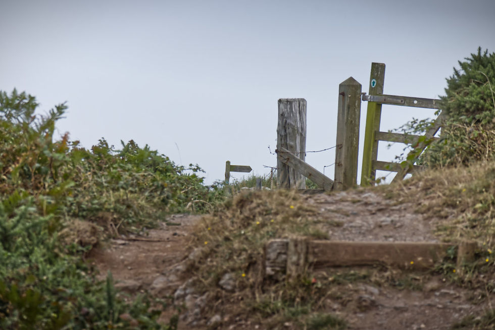
The high point of the walk at 113 metres or 370 feet above sea level.

The view down across Start Bay.


The small valley across the top of Start Point, down to Great Mattiscombe.


In the distance are the rock arch and coastguard cottages at Prawle.

Great Mattiscombe beach.


The prevailing westerly winds shape the scenery and move the sailing boats.

On the return journey, a classic view inland of South Devon sun parched fields. Although this was an overcast day it was very warm and sultry.

I passed many different users of the path and this little chap was the last one I passed. In fact I nearly walked on top of him.
I hope you enjoyed this walk enough to make it yourself one day, and if you have done it before I hope you enjoyed this memory of it.


Comments